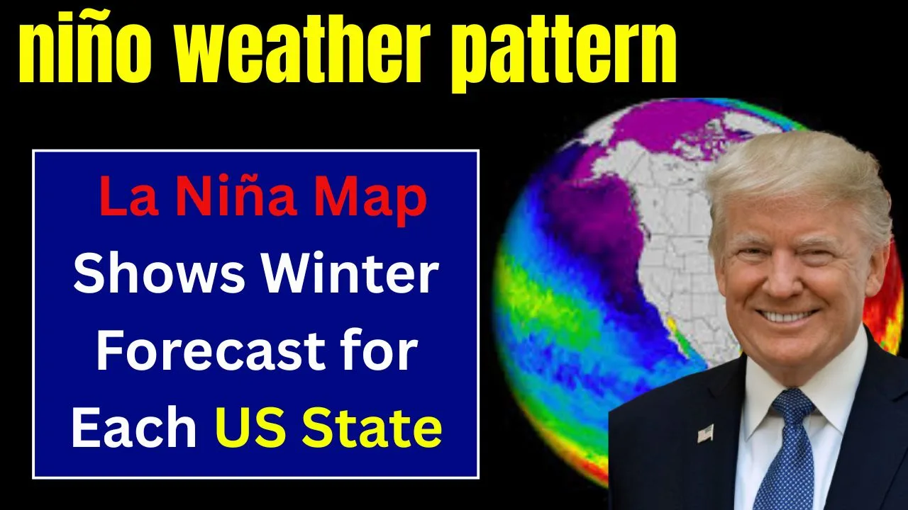
Winter 2025 is shaping up to be one of the most closely watched seasons in recent memory, as experts monitor the potential influence of La Niña across the United States. With a 71 percent chance of La Niña conditions developing between October and December, this phenomenon is expected to shift temperature and precipitation patterns nationwide. The La Niña winter forecast gives a detailed look at what states can expect in terms of warmer or cooler conditions and rainfall trends, helping communities and individuals prepare ahead of time.
The La Niña winter forecast is not just about temperatures. It also offers crucial insights into how precipitation patterns may change, affecting agriculture, infrastructure, and day-to-day life. From the Southwest’s likely dry conditions to wetter weather in the Northwest and Florida, the Climate Prediction Center (CPC) has released maps that show how La Niña could shape the 2025–2026 winter season.
La Niña Winter Forecast: What It Means for Your State
The La Niña winter forecast for October through December 2025 shows the United States divided into regions of contrasting weather. Much of the South and Northeast is expected to see above-average temperatures, while parts of the Northwest and southern Florida may experience heavier precipitation. These maps, produced by the CPC, incorporate not only ENSO data but also long-term trends and soil moisture conditions to present a comprehensive picture. For states in the Southwest and southern Plains, this could mean drier conditions lasting into early 2026, while the Northeast may see shorter snow seasons.

Overview Table: La Niña Winter Forecast 2025 Snapshot
| Region/State Group | Forecast Highlights (Oct–Dec 2025) |
| Southwest (TX, NM, AZ) | Warmer than normal, below-average precipitation |
| Northeast (NY, CT, MA, VT, ME) | Above-average temperatures, reduced early snow chances |
| Pacific Northwest (WA, OR) | Increased precipitation, mild temperatures |
| Southern Florida | Higher precipitation likely |
| Central Plains (KS, OK, NE) | Drier conditions, limited rainfall |
| Gulf States (LA, MS, AL) | Warmer temperatures, reduced rain |
| Northern Rockies and Plains | Cooler air possible mid-October to November |
| Midwest (IL, IN, OH) | Slight warming trend with cool fronts in November |
| Great Lakes Region | Potentially above-normal temperatures, mixed precipitation outlook |
| California | No strong signal for either warmth or precipitation |
Why It Matters
La Niña is the cool phase of the El Niño-Southern Oscillation (ENSO) and has a powerful impact on global weather. When it forms, the Pacific Ocean’s cooler-than-average waters alter jet stream patterns, influencing storm tracks, snow events, and rainfall across North America. The La Niña winter forecast matters because it can help farmers plan crop schedules, city planners prepare for infrastructure needs, and families anticipate heating or travel challenges. Even a weak La Niña can create noticeable disruptions to typical seasonal weather, and a strong one can lead to significant deviations from normal conditions.
What To Know
According to CPC maps, most of the country is forecast to have above-average temperatures from October to December 2025. This includes the southern tier of states, parts of the Northeast, and much of the Midwest. For example, Texas, New Mexico, and Arizona are expected to be both warmer and drier than average, which could exacerbate drought concerns.
Meanwhile, the Pacific Northwest and southern Florida stand out as areas likely to experience above-normal precipitation, which could lead to localized flooding but also benefit water supplies. The Northeast—New York, Connecticut, Rhode Island, Massachusetts, Vermont, New Hampshire, and Maine—is also expected to have higher-than-average temperatures, which may shorten the snow season in early winter.

What People Are Saying
AccuWeather’s long-range forecast aligns with CPC predictions for October but adds that mid-month cooling may occur in the northern Rockies and Plains, offering some relief from warmer trends. Lead forecaster Paul Pastelok also expects more cold fronts in November across parts of the Midwest and northern Rockies, which could bring temporary cool spells before December’s stronger warming pattern sets in.
Pastelok notes that while confidence in November’s patterns is low, December’s outlook is clearer: the Southwest, southern Plains, and East will likely struggle to sustain cool air, ending up with at least average or above-average temperatures. This means that early-season snow events may be limited in some areas, particularly the southern and eastern regions of the country.
What Happens Next
The Climate Prediction Center updates its seasonal outlooks on the third Thursday of every month, meaning forecasts will continue to evolve as new data becomes available. These updates incorporate ocean temperature changes, atmospheric shifts, and long-term climate trends to give a more accurate picture of what to expect.

While La Niña is a key driver of winter weather patterns, it is not the only one. Other factors such as soil moisture, Arctic air outbreaks, and long-term warming trends can influence conditions, so it is important to remain flexible when planning for winter.
How This Affects You
- Southern and Southwestern States: Expect warmer, drier conditions. This could help lower heating costs but may stress water supplies.
- Pacific Northwest and Southern Florida: Prepare for more rain than usual, which could boost reservoirs but also increase flood risks.
- Midwest and Northern Rockies: Look for a more unpredictable season, with occasional cold fronts but overall milder conditions.
- Northeast: Warmer early-season temperatures could reduce snowfall, especially in November and early December.
- Great Lakes Region: Conditions remain mixed; while temperatures may be above average, precipitation patterns are less certain.
Final Thoughts
The La Niña winter forecast for 2025 offers a roadmap for what Americans can expect in the months ahead. From warmer-than-average conditions in the South and Northeast to wetter weather in the Northwest and Florida, La Niña’s influence is clear. While these forecasts provide valuable guidance, they are not set in stone. Weather patterns can shift, and other climate factors may come into play as winter progresses.
Staying informed through updates from the Climate Prediction Center and your local weather services will help you prepare for whatever this winter brings, whether it is unexpected snow or unseasonable warmth.

FAQs
La Niña is a climate pattern where ocean temperatures in the central Pacific are cooler than average. It affects the jet stream and can significantly alter weather patterns worldwide, including U.S. winters.
According to the Climate Prediction Center, there is a 71 percent chance of La Niña conditions developing from October to December 2025.
The southern U.S., parts of the Northeast, and the Midwest are expected to see above-average temperatures during the early winter months.

Yes, in some regions. Warmer conditions in the South and Northeast may limit early-season snowfall. However, the Northwest and high elevations may still receive significant snow.
Yes. Seasonal forecasts are updated monthly and may shift as new data about ocean and atmospheric conditions becomes available.


")